Travel guide · Basilicata
Basilicata by bike: MTB, road and cycle routes
Cycling routes in Basilicata: Coast 2 Coast by MTB, Sentiero Italia by bike, Appennino Bike Tour and Ciclovia Meridiana, with GPX tracks to download.
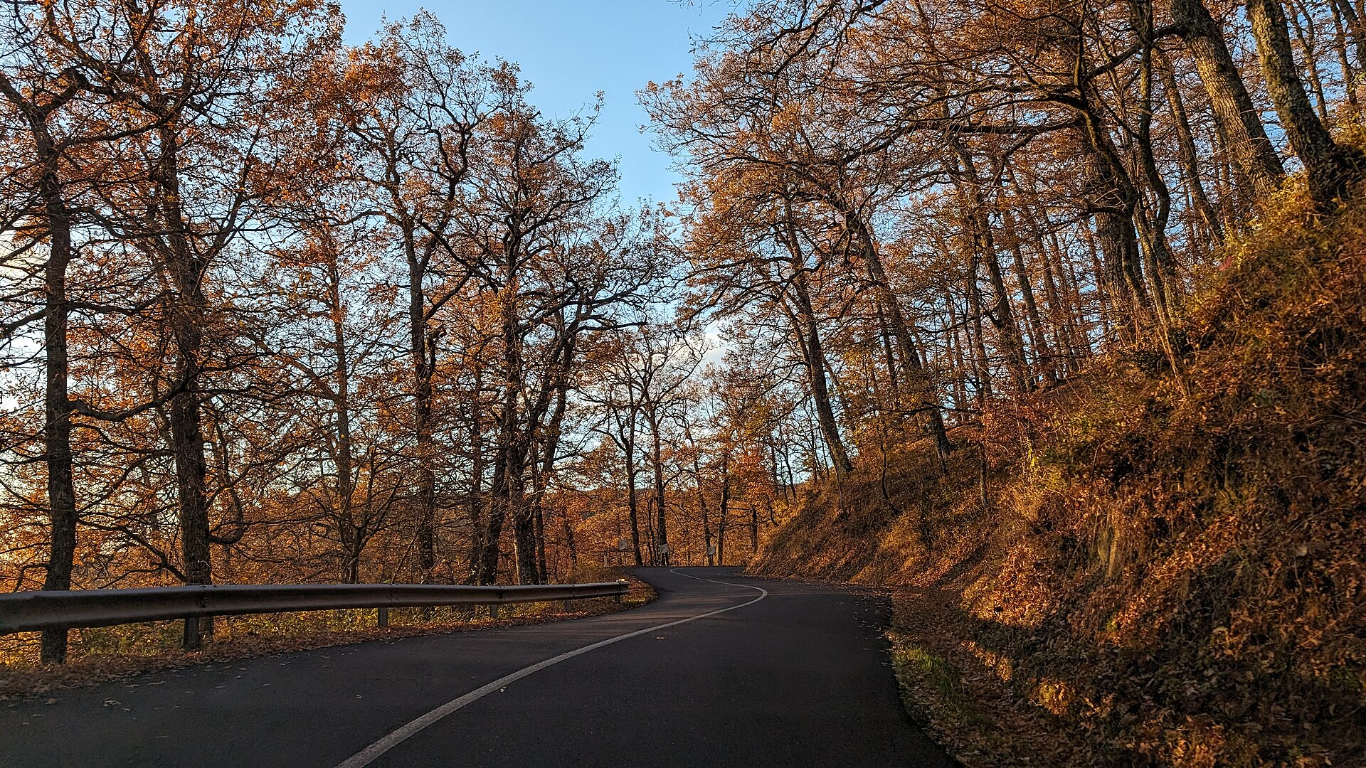
Foto: Tiziana12 – CC BY 4.0, Wikimedia Commons
Basilicata is a region of long climbs, quiet mountain roads and dirt tracks through forests, badlands and villages perched on rocks. This guide lists the bike routes that already exist, mapped and shared by those who have ridden them: mountain bike, road and gravel, with GPX tracks to download, plus the cycle routes under development.
Tracks come from the cycle routes mapped in OpenStreetMap (© OpenStreetMap contributors): they are indicative, so always check surface and conditions before setting off.
Mountain bike
Coast 2 Coast Basilicata by MTB
The great crossing of the region from the Tyrrhenian to the Ionian Sea: from Maratea railway station to Scanzano Jonico station, about 240 kilometres of dirt roads, mule tracks and back roads, following the film Basilicata coast to coast. It takes several days, with stages planned around your fitness; it starts and ends at a station, so it is easy to reach by train.
- Distance
- 239.6 km
- Elevation gain
- 4,780 m
- Highest point
- 1,240 m
- Lowest point
- 9 m
- Difficulty
- Mountain bike, several days
Download GPX track Directions to the start
Track drawn from OpenStreetMap trail data (© OpenStreetMap contributors). Indicative: always check signs and conditions on site.
The walking trail with its official stages is in our guide Basilicata coast to coast.
Sentiero Italia CAI by bike: Pollino and Sirino
CAI’s Sentiero Italia also has a mountain-bike version. On the Basilicata side of Pollino it descends from the Madonna del Pollino sanctuary to San Severino Lucano; further west it links Latronico, Castelsaraceno, Conserva di Lauria, Lake Sirino and Fortino, at the foot of Monte Alpi and Sirino. The section between San Severino Lucano and Latronico is still incomplete in OpenStreetMap, so there is no track for it.
- Distance
- 22 km
- Elevation gain
- 370 m
- Highest point
- 1,537 m
- Lowest point
- 888 m
- Difficulty
- Mountain bike
Download GPX track Directions to the start
Track drawn from OpenStreetMap trail data (© OpenStreetMap contributors). Indicative: always check signs and conditions on site.
- Distance
- 91.5 km
- Elevation gain
- 2,412 m
- Highest point
- 1,560 m
- Lowest point
- 565 m
- Difficulty
- Mountain bike, several days
Download GPX track Directions to the start
Track drawn from OpenStreetMap trail data (© OpenStreetMap contributors). Indicative: always check signs and conditions on site.
Vulture: from Melfi to Venosa
A Sentiero Italia bike stage in the Vulture area, among Aglianico vineyards, fields and farmhouses: from Melfi and its Norman castle to Venosa, the town of Horace.
- Distance
- 30.3 km
- Elevation gain
- 533 m
- Highest point
- 628 m
- Lowest point
- 260 m
- Difficulty
- Mountain bike
Download GPX track Directions to the start
Track drawn from OpenStreetMap trail data (© OpenStreetMap contributors). Indicative: always check signs and conditions on site.
The Matera Murgia: from Matera to Gravina
From Matera you ride out onto the Murgia plateau to Gravina in Puglia, along the Sentiero Italia bike stage linking the two towns of the ravines.
- Distance
- 36.5 km
- Elevation gain
- 196 m
- Highest point
- 434 m
- Lowest point
- 293 m
- Difficulty
- Mountain bike
Download GPX track Directions to the start
Track drawn from OpenStreetMap trail data (© OpenStreetMap contributors). Indicative: always check signs and conditions on site.
Lagonegro – Pecorone
A short route from Lagonegro towards Pecorone, a hamlet of Lauria, through the Lagonegrese woods: good for a half-day ride.
- Distance
- 11.6 km
- Elevation gain
- 316 m
- Highest point
- 883 m
- Lowest point
- 583 m
- Difficulty
- Mountain bike, half day
Download GPX track Directions to the start
Track drawn from OpenStreetMap trail data (© OpenStreetMap contributors). Indicative: always check signs and conditions on site.
Road and gravel: the Appennino Bike Tour
The Appennino Bike Tour is a 43-stage cycle route from Liguria to Sicily on quiet back roads. It enters Basilicata from Irpinia at Muro Lucano and heads down to Pollino through the Lucanian Dolomites: long stages with a lot of climbing, for fit cyclists.
- Distance
- 56.8 km
- Elevation gain
- 830 m
- Highest point
- 1,134 m
- Lowest point
- 416 m
- Difficulty
- Road
Download GPX track Directions to the start
Track drawn from OpenStreetMap trail data (© OpenStreetMap contributors). Indicative: always check signs and conditions on site.
- Distance
- 66.4 km
- Elevation gain
- 1,345 m
- Highest point
- 1,287 m
- Lowest point
- 338 m
- Difficulty
- Road
Download GPX track Directions to the start
Track drawn from OpenStreetMap trail data (© OpenStreetMap contributors). Indicative: always check signs and conditions on site.
- Distance
- 71.8 km
- Elevation gain
- 1,471 m
- Highest point
- 1,197 m
- Lowest point
- 453 m
- Difficulty
- Road
Download GPX track Directions to the start
Track drawn from OpenStreetMap trail data (© OpenStreetMap contributors). Indicative: always check signs and conditions on site.
- Distance
- 71.5 km
- Elevation gain
- 1,313 m
- Highest point
- 1,189 m
- Lowest point
- 253 m
- Difficulty
- Road
Download GPX track Directions to the start
Track drawn from OpenStreetMap trail data (© OpenStreetMap contributors). Indicative: always check signs and conditions on site.
Stage 27, from Roccanova to San Severino Lucano, is still incomplete in OpenStreetMap, so there is no track for it.
- Distance
- 61.7 km
- Elevation gain
- 1,031 m
- Highest point
- 1,073 m
- Lowest point
- 149 m
- Difficulty
- Road
Download GPX track Directions to the start
Track drawn from OpenStreetMap trail data (© OpenStreetMap contributors). Indicative: always check signs and conditions on site.
The Ciclovia Meridiana
The Ciclovia Meridiana is the cycling loop of the Appennino Lucano National Park: about 308 km and over 6,000 metres of climbing, starting and ending at Potenza FAL station, almost entirely on low-traffic roads with short stretches of cycle path. In 2025 it won second prize at the Green Road Award, Italy’s cycle-tourism Oscar. In the west it follows the ancient Via Herculia; it passes the Fossa Cupa beech forest, Grumentum, Sirino, the cycle path on the former Calabro-Lucana railway along Lake Sirino, the Pertusillo lake and the Laurenzana silver-fir forest.
The five suggested stages:
- Potenza – Viggiano: 65.5 km, +1,310 m
- Viggiano – Lake Sirino: 59 km, +1,350 m
- Lake Sirino – San Martino d’Agri: 63.2 km, +1,220 m
- San Martino d’Agri – Laurenzana: 64.3 km, +1,220 m
- Laurenzana – Potenza: 57 km, +970 m
A link road of about one kilometre below Viggiano splits it into a northern loop (Potenza – Viggiano – Potenza, 160 km) and a southern loop (Viggiano – Lake Sirino – Viggiano, 150 km). There are also shorter connecting routes, such as Sellata – Marsico Nuovo, Calvello – Villa d’Agri and Spinoso – Moliterno, the flat river-park loop at Paterno, suitable for children too, and the gravel «Via dell’acqua» from Marsico Nuovo to the Pertusillo. A gravel or mountain bike, including e-bikes, is recommended.
The villages along the loop:
Interactive map, profile and the official GPX track are on the Park website: Ciclovia Meridiana – Appennino Lucano Experience. Signage and info points are still being upgraded, but the whole loop can be ridden by following the track.
Other cycle routes
- From Matera to Magna Graecia: about 57 km in a day, from Matera to the Tavole Palatine and the Metaponto archaeological area, down to the Ionian coast; medium difficulty.
- Apulian Aqueduct cycle route and EuroVelo 5: the long-distance routes that also cross northern Basilicata, in the Vulture area.
Tips for cycling in Basilicata
- When: spring and autumn are the best seasons; in summer start at dawn, as the valleys and the Ionian coast get very hot.
- Climbs: even short routes have big elevation gains; an e-bike opens up many itineraries.
- Water and services: there are few refreshment points between villages; carry water, an inner tube and tools.
- Mountain roads: even paved roads can have rough sections; take care on descents.
- Plan your trip: add the villages to your itinerary with “Plan your trip” and look for festivals and events along the way in the Ebas calendar.